Survey Three Limited has been carrying out Topographical Surveys since the company was founded in 1970. They currently account for approximately 60% of our workload.
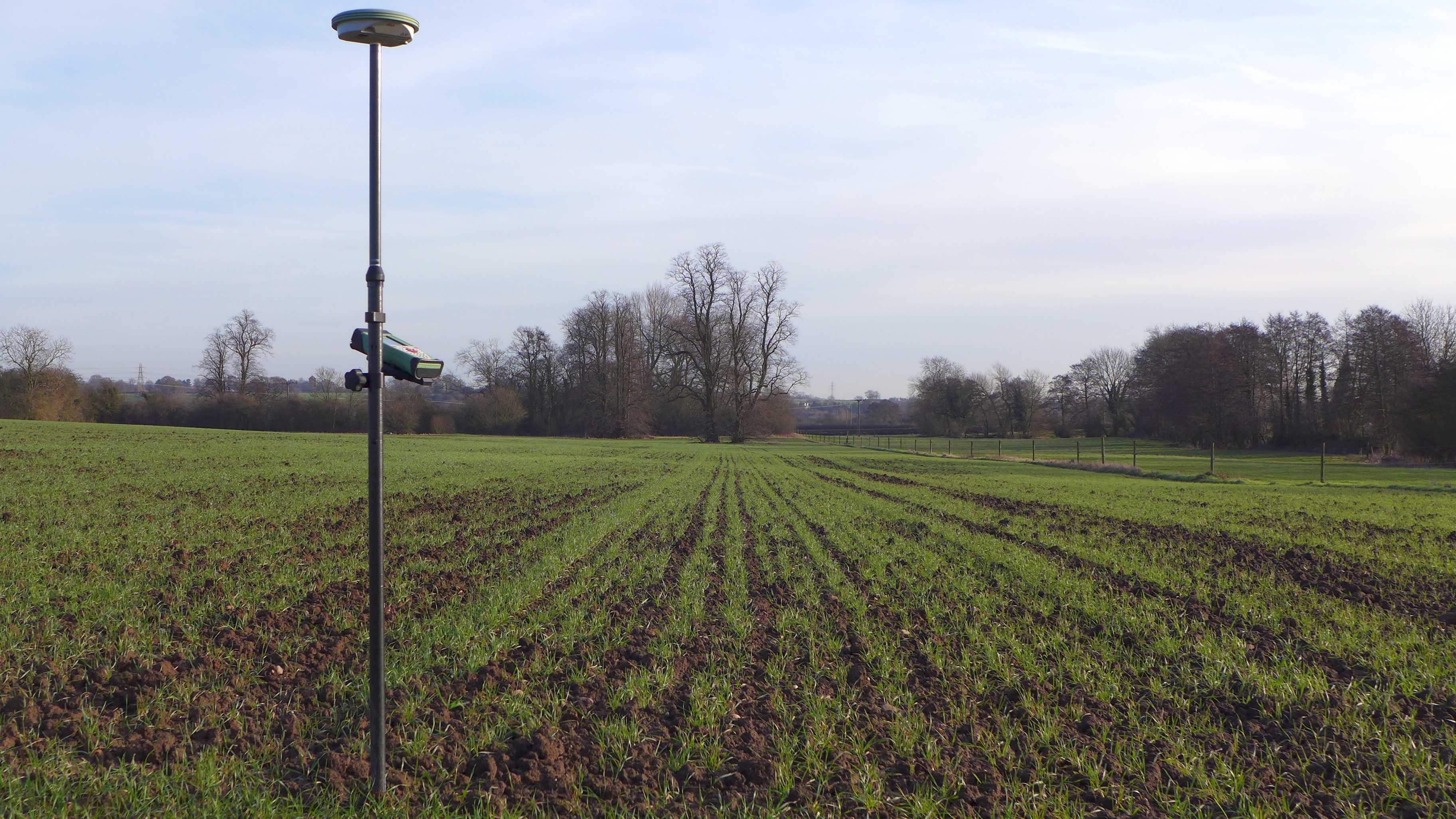
Topographical Survey are carried out using Leica total stations and/or Leica GPS and are drawn using AutoCAD.
LSS is also used for ground modelling and volume calculations.
Surveys are usually presented as a 1:200 or 1:500 2D Plan or 3D Model in DWG format.
Please contact us for a quotation or further information.
Survey Three Limited
Topographical Surveys